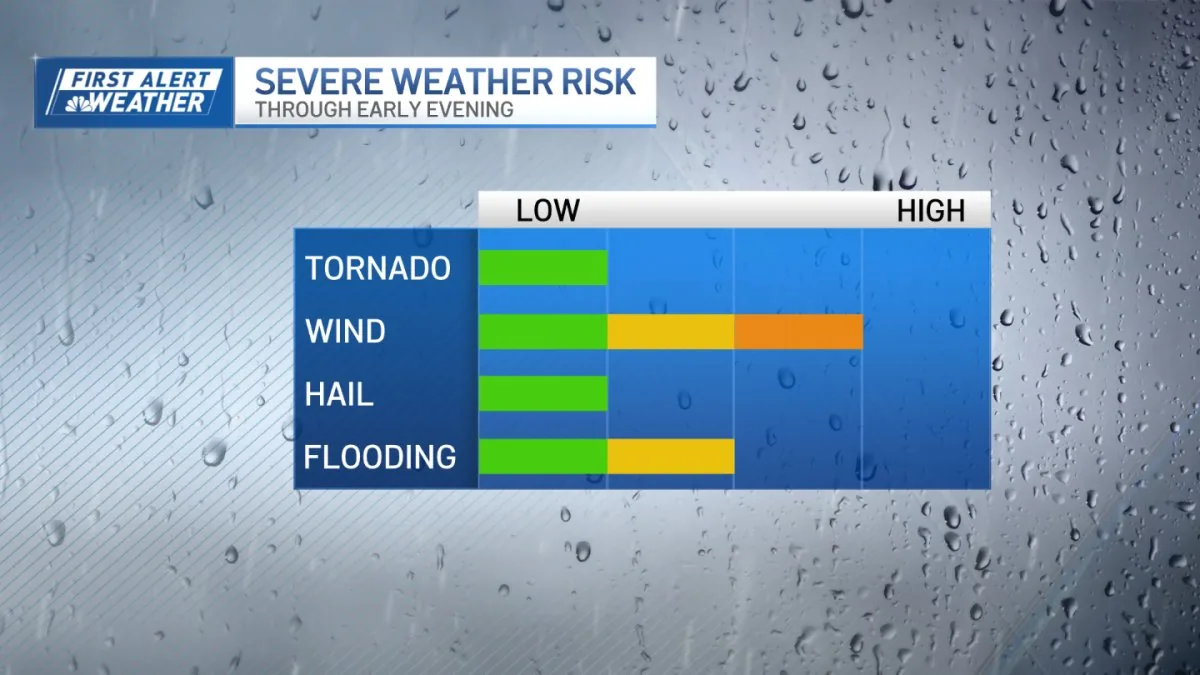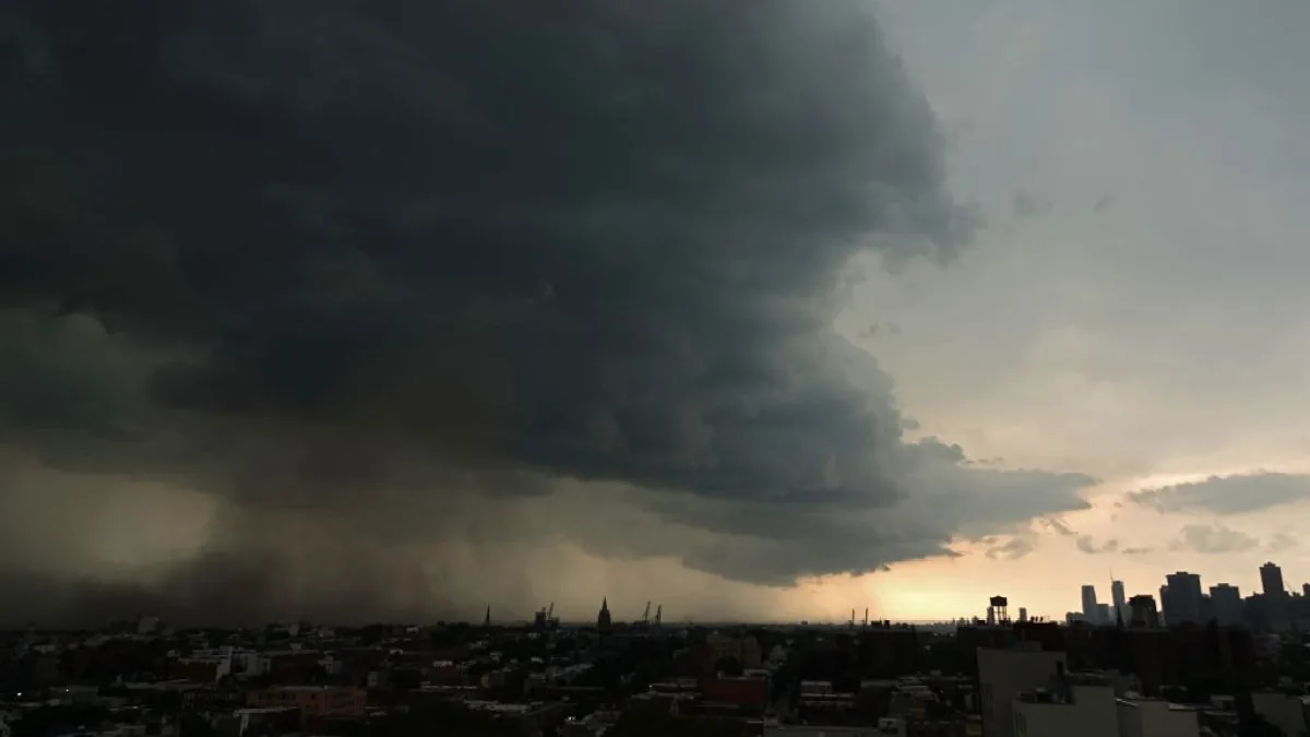
NEW YORK, NY — Strong thunderstorms are expected to affect the New York City region Thursday, with the greatest risk coming late in the day and into the night. A Severe Thunderstorm Watch was in effect for parts of New York, including the five boroughs, New Jersey and other nearby states until midnight. Some communities already saw storms during the evening rush hour, and warnings were posted for counties in the Hudson Valley and Fairfield County in Connecticut. Hail, damaging winds and brief flooding are the main concerns.
Storm Threat Intensifies
Forecasters said Thursday was shaping up as the most active day for severe weather, with storms expected to become more numerous and stronger later in the afternoon and evening. The tornado risk had moved out, but hail and isolated flash flooding remained possible. Rainfall could be intense at times, with some storms capable of dumping about 2 inches an hour. That kind of rain may create problems in low-lying areas, even if widespread flooding does not develop.
In Dutchess County, hail the size of table tennis balls, or about 1.25 inches, was reported in Pawling. The severe weather setup was expected to continue into Friday as well.
Winds Lead The Risk
Damaging straight-line winds are still the primary threat from the strongest storms, according to the forecast. Northern and central New Jersey were identified as the areas most likely to see those winds Thursday night. While the flash-flood threat is not expected to cover a wide area, brief downpours could still overwhelm drainage in some neighborhoods. Officials advised people to pay attention to weather alerts and stay aware of changing conditions through the evening commute and overnight hours.
The storm pattern is part of a broader unsettled stretch across the tri-state region, with severe weather possible again on Friday. The main hazards are expected to remain the same: strong gusts, hail and pockets of heavy rain.
Heat Adds To Hazards
The storm threat is unfolding alongside extreme heat, making Thursday and Friday uncomfortable and potentially dangerous. A heat advisory is in effect both afternoons across most of the tri-state area, except Eastern Suffolk County on Long Island and the Catskills and Poconos Mountains. Heat index readings are expected to reach around 100 degrees in the advisory area. Forecasters urged people to drink plenty of water, limit time outdoors during the hottest part of the day and avoid strenuous activity when possible.
Health officials commonly warn that prolonged exposure to heat can lead to heat exhaustion or heat stroke, especially when humidity is high. Shade and rest are recommended when people do have to be outside.
Weekend Turns Drier
Drier air is expected to move into the region Friday night, which should sharply reduce rain chances by the weekend. Saturday and Sunday are forecast to be mostly dry and sunny, with high temperatures in the upper 80s for most areas. Heat index readings should be closer to 90, making the weekend hot but much less humid than Thursday and Friday. Cooler air is expected to arrive on Monday, bringing temperatures back toward more normal levels for mid-June.
The improved weather should also be welcome for large outdoor events, including the Puerto Rican Day Parade. For now, however, the immediate concern remains the mix of strong storms and oppressive heat.