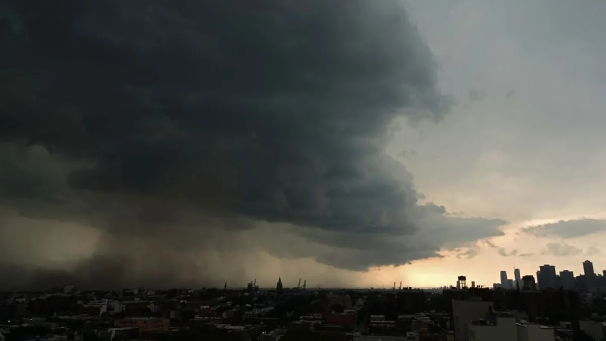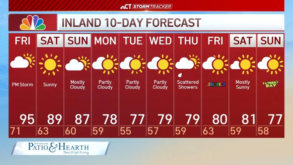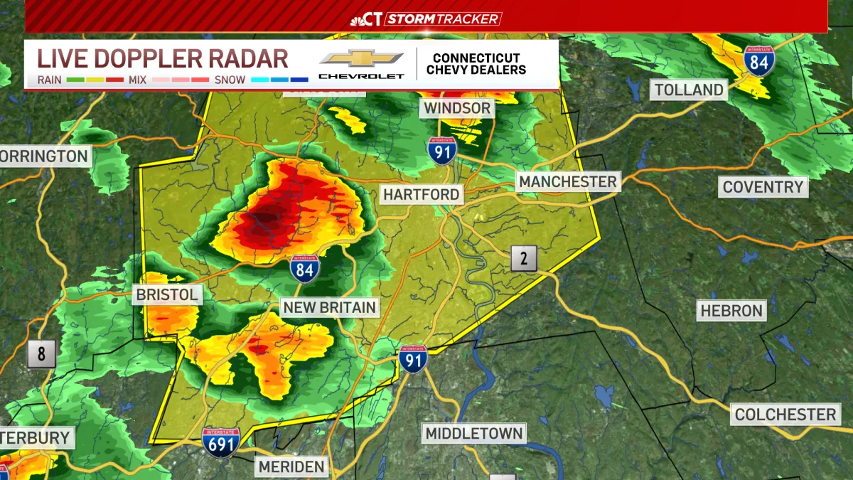
BOSTON, MA — Forecasters said Tuesday’s setup carried the ingredients for severe weather across parts of New England, though the outcome depended on whether unstable air could develop during the afternoon. A rare tornado watch was issued for all of New Hampshire and Vermont, along with parts of Massachusetts, Maine and Connecticut, before later being canceled for Vermont and Massachusetts. The strongest storms were expected to stay mainly across Vermont and then weaken as they moved out of the Connecticut River Valley. Officials said the threat was conditional, but not something to dismiss.
Storm Timing And Setup
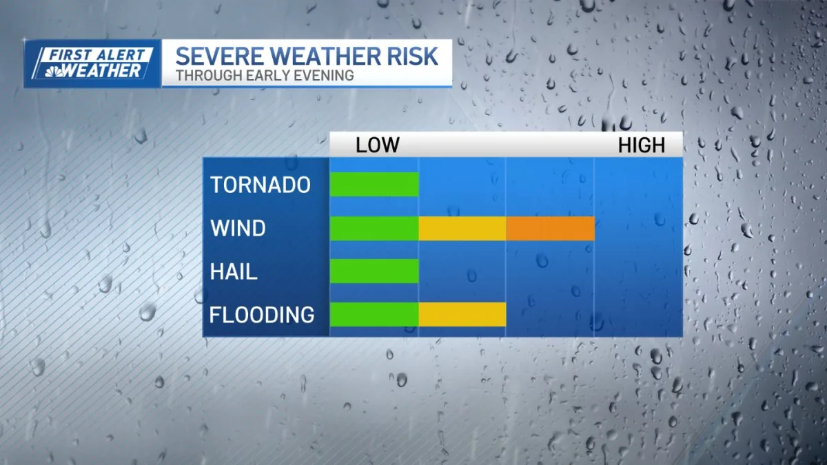
The key question was whether a warm front moving north through southern New England would open the door to warmer air and stronger thunderstorms. If clouds and showers lingered too long, the severe risk would drop sharply. If sunshine broke through, the extra heat could add enough energy for storms to intensify during the afternoon. Forecasters said the atmosphere had enough wind energy to support damaging gusts and possibly a brief tornado if storms formed and organized in the right way.
The forecast pointed to the most active period running from midday through early evening, with storms forming as a line before the threat shifted east. Confidence remained low that severe weather would be widespread, but confidence was higher that any storm that did form could strengthen quickly. Weather officials urged people to watch conditions closely as the day went on, especially if the sky began to brighten after a period of clouds and showers.
Where The Risk Was Highest
The greatest concern was centered on Vermont, then extending into western Massachusetts and western Connecticut. Forecasters said storms were most likely to be strongest across that corridor before losing some intensity as they moved east. The watch covered a broader area, but the more serious threat was not expected to be uniform across the region. Instead, the risk depended on how much instability built during the afternoon and whether storms could take advantage of it.
Even with limited instability, the unusually strong wind shear in southern New England gave storms a better chance to produce damaging wind gusts. The forecast also pointed to a possible straight-line wind event in the Merrimack Valley, where gusts around 45 mph could arrive midafternoon if storms organized as expected. Officials said the setup favored quick changes, with some areas seeing little impact while others could experience stronger weather in a short period of time.
Watch And Warning Changes
The tornado watch itself was notable because such watches are uncommon in this part of the country. It was initially issued for all of New Hampshire and Vermont, plus portions of Massachusetts, Maine and Connecticut. Later in the day, forecasters canceled the watch for Vermont and Massachusetts as conditions evolved. That change suggested the threat was becoming more limited, although it did not eliminate the possibility of strong storms elsewhere in the region.
Even with the cancellation, meteorologists said the atmosphere still needed to be watched carefully as storms developed. The mix of limited instability and strong wind shear meant the forecast could change quickly depending on cloud cover and storm movement. Forecasters stressed that a brief period of sunshine could be enough to increase storm intensity, while continued clouds could keep the system weaker than expected.
When To Stay Alert
Weather officials advised people to remain alert from noon through 9 p.m., when the most active period was expected. That window covered the time when storms could form, organize and move through the region before the threat shifted east. Residents were urged to pay close attention if breaks of sunshine appeared during the afternoon, because that would make stronger storms more likely. The forecast was not for guaranteed severe weather, but for a setup where the danger could escalate quickly.
For now, the bottom line was cautious vigilance. Forecasters said widespread severe weather was not the most likely outcome, but any storm that did develop could become strong in a short time. With damaging wind gusts and a brief tornado among the possible impacts, the day remained one in which weather changes could matter fast across parts of New England.