HARTFORD, CT — Severe thunderstorm warnings issued for parts of Connecticut on Thursday afternoon have expired, ending the immediate risk from that round of storms. The change brought some relief after a hot and muggy day, but forecasters said the weather pattern was not done yet. A heat advisory remains in effect for Friday, with feels-like temperatures expected to climb into the upper 90s and near 100 degrees. Another chance for storms is also in the forecast, keeping the region unsettled for one more day.
Storms Move Through State
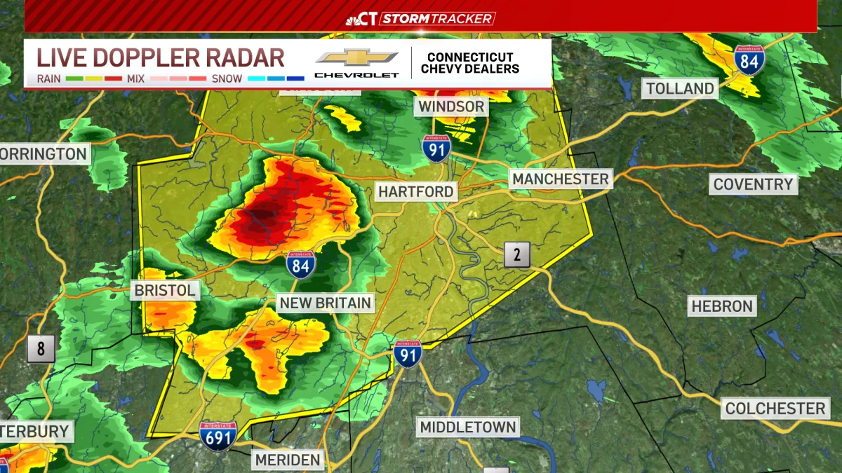
The severe weather that prompted Thursday’s warnings was limited to parts of the state, according to the forecast update. Once the warnings expired, attention shifted from immediate hazards to the broader stretch of hot summer weather. Conditions remained steamy enough to keep people feeling more heat than the thermometer showed. The forecast did not call for a widespread severe event, but it did leave open the possibility of additional thunderstorms later in the week. That means residents may still need to keep an eye on changing skies and alerts.
Heat Advisory Stays In Place
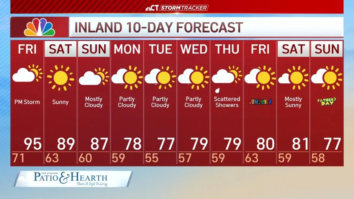
Friday is expected to remain uncomfortable because of the continuing heat advisory. The “feels-like” temperatures are forecast to reach the upper 90s and, in some spots, approach 100 degrees. That kind of heat can make outdoor activities more difficult, especially when humidity adds to the burden. Even without severe storms, the day is shaping up to be one of the more oppressive stretches of the week. Forecasters are warning that the combination of heat and lingering moisture will continue to affect how the afternoon feels across Connecticut.
Weekend Forecast Looks Better
There is some relief in sight heading into the weekend. The forecast calls for conditions to remain hot, but less humid than the previous two days. That change should make the air feel a little more comfortable even if temperatures stay elevated. The improvement is not a cool-down, but it does mark a shift away from the most sticky and unstable weather. For people planning to be outdoors, the weekend may offer a better window than Friday, with fewer concerns about both severe storms and oppressive humidity.
What Residents Should Watch
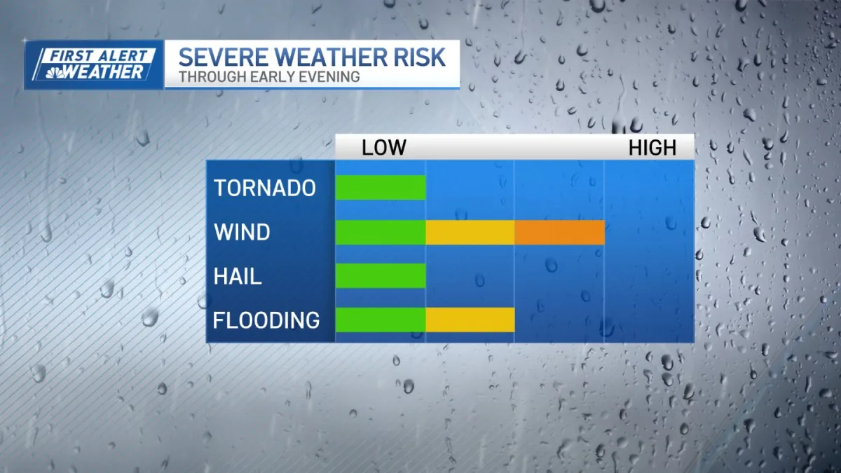
The main concern for the next day is the potential for another round of thunderstorms along with continued dangerous heat. Because the severe thunderstorm warnings have already expired, the immediate threat has eased, but forecasts can change quickly in a summer pattern like this. Residents should stay aware of updated weather information through Friday, especially if they have outdoor plans. The overall message from forecasters is simple: the worst of Thursday’s storms is over, but Connecticut is still dealing with heat, humidity and a lingering storm chance.